After several days in which the weather models were considering that possibility, today Monday we can almost assure that this situation will occur.
Heavy rains will spread throughout the eastern half and the Balearic Islands over the next few days.
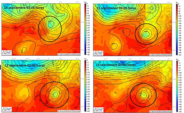
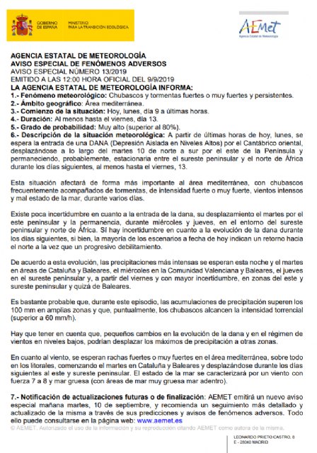
Today, the pickup of a DANA is taking place (popularly known as “cold drop”) that will enter through the eastern Cantabrian to be placed on Wednesday at the last minute southeast of the peninsula, and Thursday to the south, thus performing, from Wednesday onwards , a movement contrary to the usual that can be dangerous for the southeast.
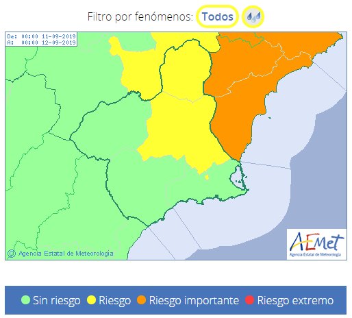
Tonight the intense rains will begin in Catalonia, tomorrow in Catalonia and the Balearic Islands and on Wednesday the Valencian Community, arriving in the Region of Murcia from midday or in the afternoon.
But it will be Thursday, when DANA moves further south of the Region of Murcia, when the southeast of the peninsula will be in the sector of greatest instability, along with the entry of wind from the east.
Therefore, the rains could be very intense and persistent.
Evolution as of Friday is uncertain, but heavy rains could continue.
This situation will be accompanied by intense wind, strong waves on the coast and a notable decrease in temperatures from Wednesday.
We do not want to alarm the population, but it is convenient that everyone has knowledge of the important risk of this situation, where in some areas floods are likely to occur.
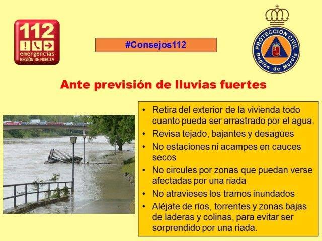
Follow some tips like these:
- Cleaning of sinks and gutters.
- Removal of objects that can be dragged.
- Do not park on boulevards and flood areas.
- Do not take the car in case of heavy rain.
- Do not cross flood areas such as sidewalks, boulevards and underpasses during the rain and in the following hours.
Any minimal change in the situation that arises today can cause the rain to fall with much less intensity or not to rain.
It is a situation that requires the perfect union of several factors in a specific area for torrential rains to occur.
Right now it is impossible to specify the exact distribution of the maximum rainfall in this situation.
Next Wednesday, Civil Protection Totana will make another publication with the update of the situation.
Stay tuned for the activation of notices.


