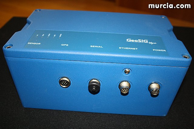
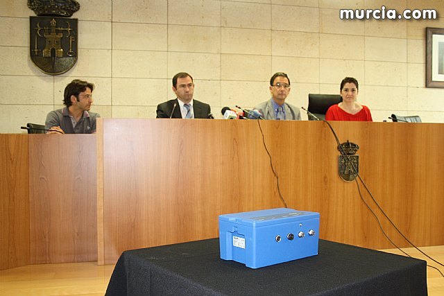
The government delegate in Murcia, Joaquin Bascuñana, and the Mayor of Totana, Isabel Maria Sanchez, attended today the act of receiving an accelerometer to be installed on a green space in this city in order to reform the system of information earthquake in the region of Guadalentín and the regional territory, and has placed the National Geographic Institute of the Ministry of Development.
The event, held in the hall of the Consistory totanero, was also attended by the Director for Development of the Government Office, Moses Lazarus Blázquez, and the head of the Network of accelerographs of Spain, Juan Manuel Mayor, who explained the technical characteristics of this measurement tool seismic soil.
With this apparatus, the National Geographic Institute network has 108 stations in the country, of which 10 are already in the Region of Murcia, along with three other soon to be placed in the municipalities of Puerto Lumbreras, Aguilas and Mazarron , respectively.
As explained by the technicians, the new accelerometer will strengthen the network of seismic record in this area "with such seismic risk", and it can measure the intensity of earthquakes are recorded in Totana more accurately.
In addition, this tool serves to measure the degree of seismicity and ground motion record, not prevention, so it possible to have useful information to do analysis.
With the installation of this device is monitored seismicity in the area and complies with the Standard Spanish Earthquake Resistant Construction of application in the areas of highest seismic risk.
The General Directorate of National Geographic Institute of the Ministry of Development is responsible for strengthening the area of ​​earthquake engineering research from a standpoint of public service, so that with this team seeks to stay ahead.


